Salkantay Mountain in Peru is more than the snow-covered backdrop of a famous hiking route. Rising above the Cordillera Vilcabamba in the Cusco Region, this glaciated Andean peak is a sacred Apu, the highest mountain in its range and a technically serious mountaineering objective that ordinary visitors do not climb.
| 6,271 mmountain summit (20,574 ft) | 4,630 mSalkantay Pass (15,190 ft) | No summit climbstandard trekking route | 2D / 4D / 5Dways to experience the mountain |
For travelers, the most useful distinction is between Mount Salkantay, Salkantay Pass and the Salkantay Trail to Machu Picchu. They belong to the same landscape, but they are not interchangeable. The summit massif reaches 6,271 m (20,574 ft); hikers on Inkayni’s current trekking routes cross the pass far below it at about 4,630 m (15,190 ft).
PERU’S LEGENDARY HIKEInca Trail to Machu Picchu
Follow the historic trail through mountain passes, Inca sites, and cloud forest paths to Machu Picchu.
Salkantay Mountain Height, Location and Geography
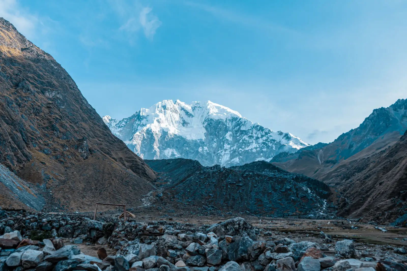
Glaciated scenery along the Salkantay route.
The elevation of Salkantay Mountain is 6,271 m (20,574 ft), making it the highest peak in the Vilcabamba range of the Peruvian Andes. If you come across a different Salcantay elevation online, it is usually the result of alternate measurements or summit GPS readings. Historical climbing reports do contain slightly different figures, but 6,271 m is the standard reference used throughout this guide and is also found in Peruvian tourism and mountaineering sources.
| Salkantay Mountain fact | Reference |
| Elevation | 6,271 m (20,574 ft) |
| Mountain range | Cordillera Vilcabamba, Peruvian Andes |
| Location | Cusco Region, about 60 km (37 mi) west-northwest of Cusco city |
| Approx. coordinates | 13.334° S, 72.544° W |
| Other names and spellings | Mount Salkantay, Mt. Salkantay, Salcantay Mountain, Sallqantay, Nevado Salkantay and Nevado Salcantay |
| First documented ascent | 1952 Franco-American expedition |
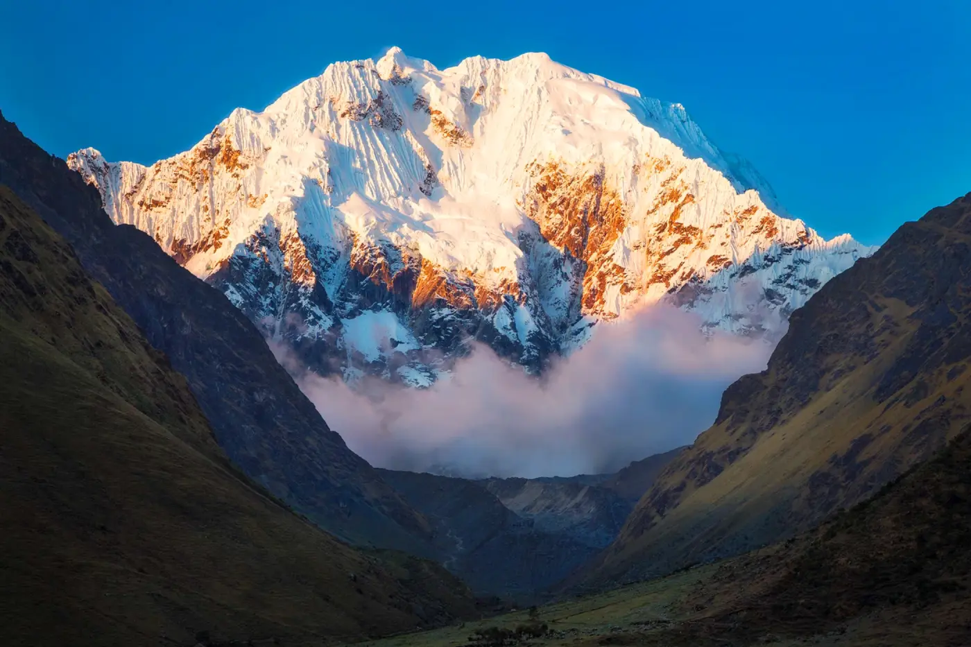
Sunrise view of Salkantay mountain.
The massif stands roughly 60 km (37 mi) west-northwest of Cusco city. Searches for Salkantay Mountain Peru refer to this peak in the Cusco Region, not to a separate mountain or trekking pass. For travelers, the most familiar access side is through the Mollepata–Soraypampa corridor, because that is where the main Salkantay trekking routes approach the mountain. That does not mean the tourist trail reaches the summit: the summit belongs to technical alpine climbing, while the hiking route stays far below it.
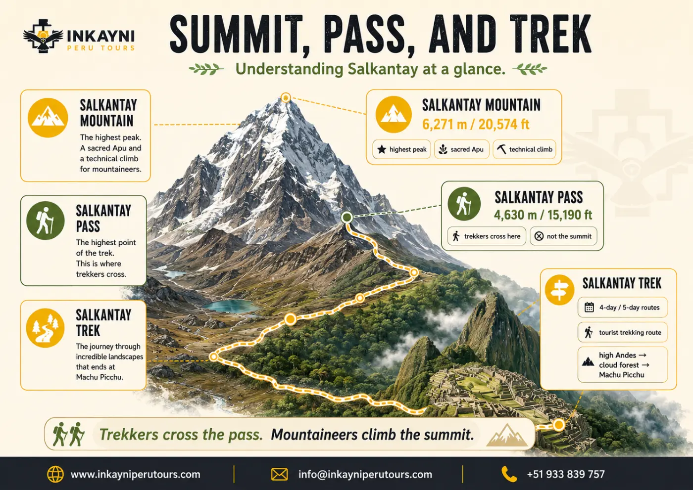
Salkantay Mountain, Pass, and Trek differences at a glance.
The mountain’s approximate coordinates are 13.334° S, 72.544° W. The surrounding Vilcabamba terrain is deeply cut by valleys that fall toward the Urubamba and Amazon-facing slopes, which helps explain the dramatic change from cold puna and glaciated scenery to cloud forest within the broader Salkantay travel corridor.
Important note:
Mollepata and Santa Teresa are useful access references when planning a visit, but neither is a precise substitute for the mountain’s geographic location in the Vilcabamba range.
Salkantay Meaning and Andean Significance
The name appears as Salkantay, Salcantay and the Quechua-based spelling Sallqantay. The most defensible linguistic connection is with the Quechua root salqa or sallqa, associated with what is wild, uncultivated or beyond the ordinary human domain. This helps explain why the name is often interpreted in English as “wild mountain” or “savage mountain,” although neither should be treated as a literal word-for-word translation.
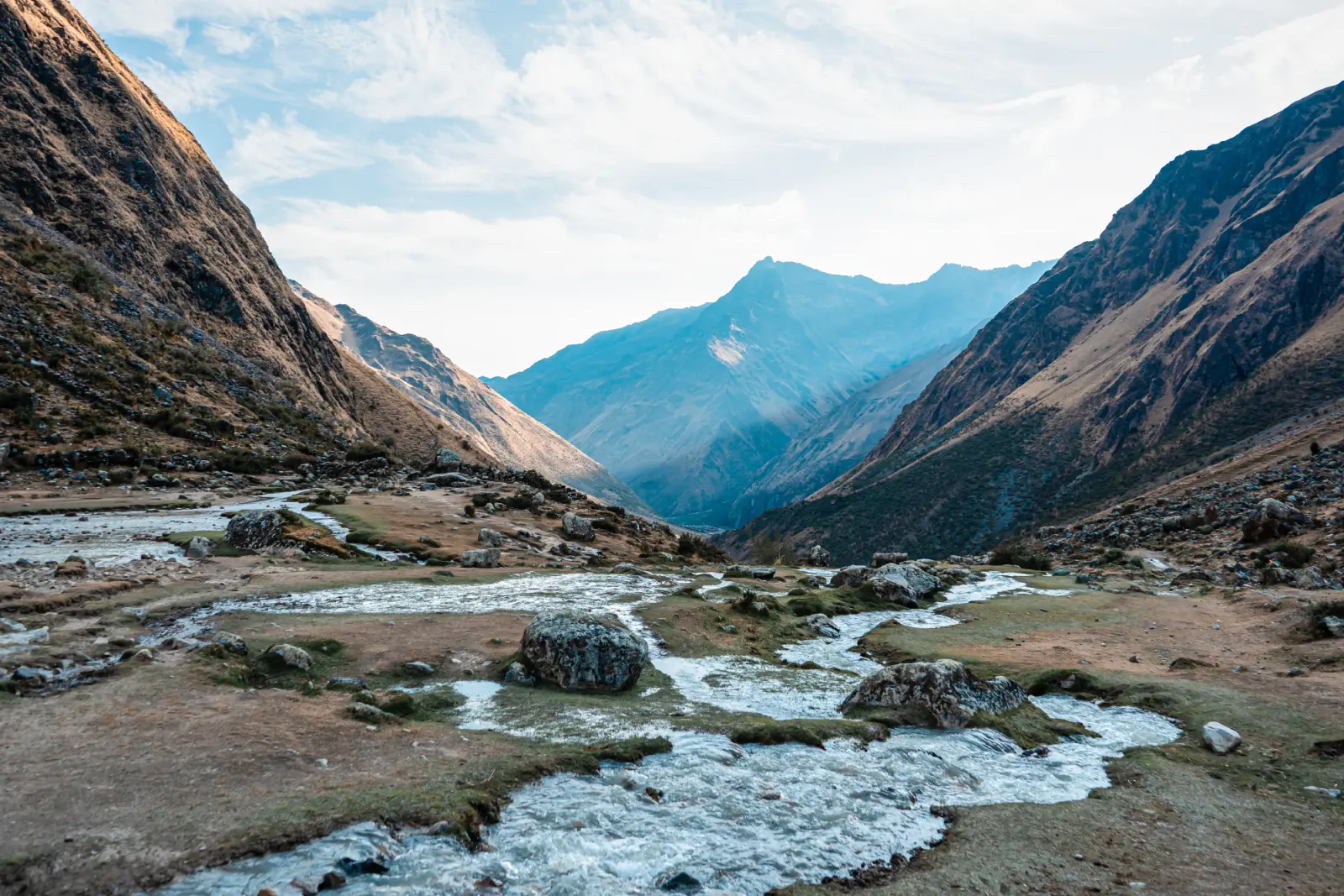
High Andean valley on Salkantay.
In the Andean worldview, Salkantay is an Apu—a powerful mountain presence connected with water, weather, agriculture and the well-being of surrounding communities. Regional traditions place Salkantay among the great guardian mountains of Cusco.
Did you know?
The old tourism phrase “Salkantay means untameable peak” is too neat to treat as a definitive word-by-word translation. “Wild” or “savage” is better supported, while the mountain’s Andean significance is much richer than any single English label.
The same landscape that draws hikers today has long carried spiritual and practical meaning for people living throughout the high Andes. If that cultural relationship interests you, compare it with the role of Ausangate, another major sacred mountain in the Cusco Region, but in a different mountain range and trekking system.
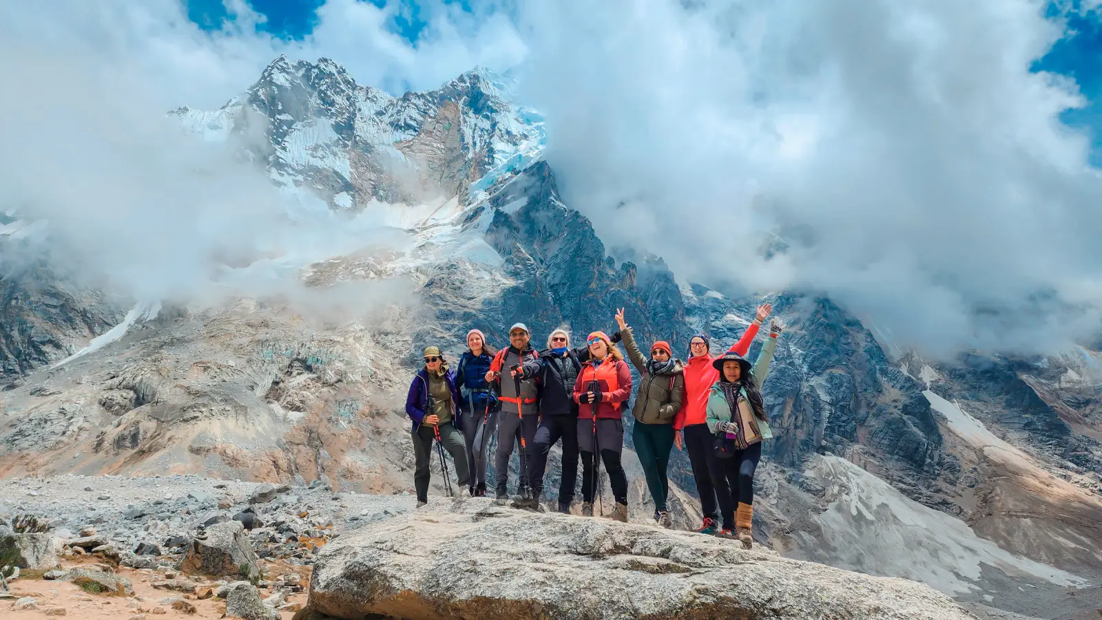
Hikers below Salkantay glacier peaks.
Salkantay Mountain vs. Salkantay Pass
This is the distinction that matters most on the ground. Salkantay Mountain and Salkantay Pass are not the same place. The mountain is the glaciated 6,271 m summit massif. The pass—also called Abra Salkantay—is the high point crossed by trekkers on the route below the mountain.
| Factor | Salkantay Mountain | Salkantay Pass / Abra Salkantay |
| Elevation | 6,271 m (20,574 ft) | About 4,630 m (15,190 ft) on Inkayni’s current 4D/5D route |
| What it is | A glaciated mountain massif and technical summit | A high mountain pass crossed on the trekking route |
| Do normal trekkers climb it? | No. Summit climbing requires technical alpine skills and expedition planning. | Yes. Trekkers cross the pass on the standard Salkantay route. |
| What travelers need to know | Height, geography, summit, glacier and climbing history | Trek altitude, physical effort and daily route planning |
If you are checking Salkantay Pass elevation or Salkantay Pass altitude, use about 4,630 m (15,190 ft) for Inkayni’s current 4-day and 5-day trekking routes. If your concern is what that altitude feels like while hiking, continue with the Salkantay difficulty guide. For daily mileage and time to the pass, use the Salkantay distance and duration guide.

Trekkers cross Abra Salkantay; they do not climb the mountain summit.
Salkantay Peak, Twin Summits and Glaciers
The snow-capped Salkantay peak has two principal summits, west and east. Historical climbing records are useful here because the shape of the summit has changed. The American Alpine Journal notes that when the mountain was first climbed in 1952, the western summit stood about 30 m (98 ft) higher. A collapse in the 1970s removed part of the peak, leaving the two summits roughly similar in height.
Seasonal snow can also affect which top appears marginally higher at a given time. That helps explain why a search for Salkantay summit elevation may return more than one number: the 2013 northeast-ridge team recorded 6,279 m by GPS on the east summit, while the established geographic reference used here remains 6,271 m (20,574 ft). Throughout this article, 6,271 m is therefore used as the canonical Salkantay Mountain elevation.
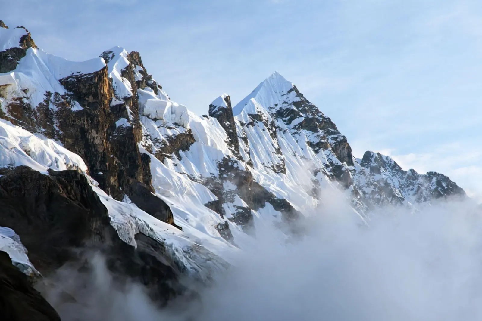
Close-up of Salkantay Mountain’s snow-covered ridges.
The mountain’s steep faces, cornices, crevasses, avalanche terrain and changing glacial surface are not details a normal trekker needs to manage—but they explain why Salkantay Peak is a mountaineering objective, not simply the highest point of the Salkantay Trek.
Warning:
Do not confuse a Salkantay Trek booking with permission or preparation to climb Mount Salkantay. A summit attempt is a technical alpine expedition with objective hazards such as glaciers, crevasses, avalanche exposure and unstable snow or ice.
Climbing History of Salkantay
Salkantay has a serious mountaineering history that is easy to overlook when the mountain is discussed only as scenery beside a trekking route. The documented ascents also make clear how different summit climbing is from crossing the pass below.
The 1952 First Ascent
The first documented ascent was completed by a Franco-American expedition in 1952. The American Alpine Journal’s original account records six climbers reaching the summit on August 5, 1952 after weeks of route preparation, fixed ropes and difficult ice climbing. The summit party included Fred D. Ayres, George I. Bell, David Michael Jr., W. V. Graham Matthews, Claude Kogan and Bernard Pierre.
The historical account is valuable because it makes the contrast with modern trekking obvious: the climbers dealt with steep ice, crevasses, avalanche-threatened gullies and high camps above 5,000 meters. That is a completely different activity from crossing Salkantay Pass on foot.
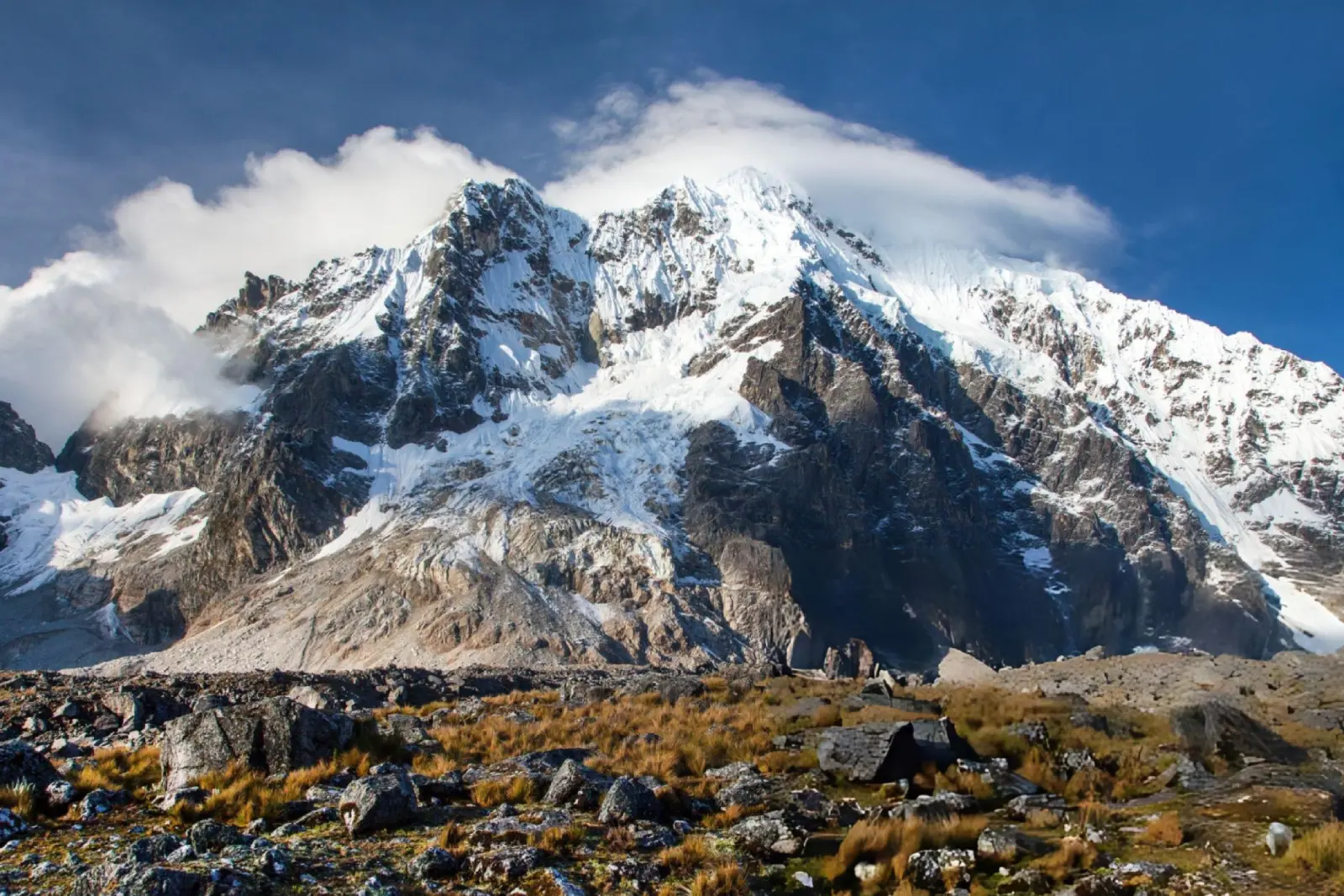
Salkantay Mountain dominating the high-Andean landscape in Salkantay pass.
The 2013 Northeast Ridge and First Peruvian Summit
Decades later, the northeast side remained a serious objective. In June 2013, mountaineers Nathan Heald, Thomas Ryan and Luis Crispín Quispe reached the east summit after a technical ascent from a high camp. The American Alpine Journal documented the climb, while Peru’s official newspaper El Peruano identified Crispín as the first Peruvian to reach the summit.
The 2013 account also records why the mountain remains difficult: a long approach, technical movement with heavy packs, avalanche exposure and clouds moving in from the Amazon-facing side of the range. For readers interested in the primary mountaineering record, the American Alpine Journal report is a better source than repeating old tour-blog summaries.
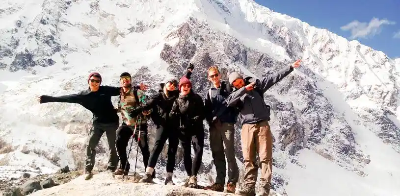
The trekking route gives close mountain views without approaching the technical summit.
Flora, Fauna and Ecosystem Change Around Salkantay
The ecosystems around Salkantay are easier to understand as a vertical transition than as one long species list. The high Salkantay zone is dominated by cold puna, sparse grasses, rock, snow and ice. As the surrounding corridor descends eastward, vegetation becomes denser and the landscape shifts toward cloud forest and warmer valleys.
Across that broader corridor, travelers may encounter ichu grasslands, orchids, Andean camelids, vizcachas and high-Andean birdlife. Lower forested sections of the wider route are also part of the habitat range of species such as the spectacled bear and Andean cock-of-the-rock, although seeing wildlife is never guaranteed.
The key point is that these species do not all live at the 6,271 m summit. They belong to the changing ecosystems around the mountain and trekking corridor. That distinction is more accurate than presenting one long flora-and-fauna list as if every species occupied the same altitude.

Lower elevations support far richer vegetation than the exposed high pass.

Camelids are part of the broader high-Andean landscape around Salkantay.
How Travelers Experience Salkantay Mountain
For almost every visitor, the practical way to experience Salkantay is from below the summit. On a typical Salkantay hike, the mountain dominates the high-altitude stages around Soraypampa, the Humantay area and the approach to Salkantay Pass, while the route itself continues far beyond the massif.
| Way to experience the mountain | What you actually do | Best fit |
| 2-day Humantay Lake + Salkantay Pass | Stay in the high-mountain sector, visit Humantay and approach/cross the pass, then return toward Cusco. | Travelers who want the mountain zone without a multi-day trek to Machu Picchu. |
| 5-day Salkantay Trek | Experience the full high-Andes-to-cloud-forest progression and continue to Machu Picchu. | Travelers who want Salkantay Mountain to be part of a complete trekking journey. |
| 4-day Salkantay Trek | See the same defining high-mountain environment in a more compressed itinerary. | Travelers with less time and good tolerance for concentrated hiking effort. |
If you want the complete Salkantay trail journey to Machu Picchu rather than the mountain itself, continue with the Salkantay Trek to Machu Picchu guide for route versions, costs, weather and trip planning. If you are still building fitness or acclimatization into your Peru itinerary, use the Salkantay preparation guide.
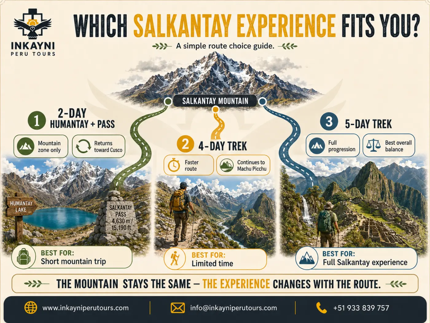
Choose the right Salkantay Mountain experience.
Explore Salkantay by the Question You Need Answered
Seeing Salkantay Mountain Without Climbing the Summit
Salkantay’s summit belongs to mountaineering; the pass and surrounding valleys are how most travelers experience the mountain. You do not need technical climbing skills to stand below the massif, visit Humantay Lake or cross Abra Salkantay, but altitude, weather and the demands of the route still deserve respect.
If you are ready to turn the mountain views into a full Salkantay hike to Machu Picchu, review Inkayni’s current 5-day Salkantay Trek or 4-day Salkantay Trek. If you want help choosing the right way to experience the mountain around your dates and fitness, talk to a travel specialist.
Frequently Asked Questions About Salkantay Mountain
How high is Salkantay Mountain?
Inkayni uses 6,271 m (20,574 ft) as the canonical elevation for Salkantay Mountain. Some climbing reports contain slightly different GPS readings, but 6,271 m is the standard reference used throughout this guide.
Where is Salkantay Mountain located?
Salkantay is in the Cordillera Vilcabamba of Peru’s Cusco Region, roughly 60 km (37 mi) west-northwest of Cusco city. Its approximate coordinates are 13.334° S, 72.544° W.
Is Salkantay Mountain the same as Salkantay Pass?
No. The mountain rises to 6,271 m (20,574 ft), while trekkers cross Salkantay Pass below it at about 4,630 m (15,190 ft) on Inkayni’s current 4-day and 5-day routes.
What does Salkantay mean?
The name is commonly connected with the Quechua idea of something wild or uncultivated, which is why English sources often translate it as “wild mountain” or “savage mountain.” Salkantay is also revered as an Apu in Andean tradition.
Can tourists climb Mount Salkantay?
A summit attempt is possible for qualified mountaineers, but it is not part of the normal Salkantay Trek. The mountain requires technical glacier, snow and ice climbing skills, specialized equipment and expedition-level risk management.
When was Salkantay first climbed?
The first documented ascent was completed by a Franco-American expedition in 1952. The American Alpine Journal records six climbers reaching the summit on August 5 of that year.
Who was the first Peruvian to summit Salkantay?
Peru’s official newspaper El Peruano identifies Cusco mountaineer Luis Crispín Quispe as the first Peruvian to reach the summit, during a 2013 ascent with U.S. climbers Nathan Heald and Thomas Ryan.
What is the easiest way to see Salkantay Mountain?
For travelers who do not want the full trek to Machu Picchu, the 2-day Humantay Lake and Salkantay Pass route stays in the high-mountain sector. The 4-day and 5-day Salkantay treks provide a longer experience and continue toward Machu Picchu.