


How High Is Choquequirao?
Choquequirao sits at about 10,007 ft (3,050 m) above sea level, which is lower than Cusco but higher than Machu Picchu. The real challenge, however, is not the altitude number alone. The trek drops to the hot Apurímac Canyon and then climbs back up more than 4,000 ft, which is why many hikers feel Choquequirao more in their legs, lungs and energy than they expect. For most travelers, 2 to 3 days of acclimatization in Cusco still make a big difference before starting.
Table of Contents
Choquequirao is not the highest trek in Cusco, but its altitude still matters. The route starts high, descends sharply to the Apurímac River and then climbs back toward Marampata and the archaeological site. That elevation pattern is why many travelers feel the trek more in their legs, lungs and energy levels than the final altitude number suggests.
This guide explains Choquequirao altitude, the key elevation points on the route, where the climb feels hardest, how altitude can affect your body and how to prepare before starting the trek.
| 10,007 ftChoquequirao altitude | 5,085 ftlowest river point | +4,265 fthardest uphill climb | 2–3 daysacclimatization in Cusco |
What Altitude Is Choquequirao At?
Choquequirao is located at about 10,007 feet (3,050 meters) above sea level, on the slopes of the Apurímac River canyon in Cusco, Peru. This altitude is high enough to affect some travelers, especially those arriving from sea level or starting the trek too soon after reaching Cusco.
The altitude number alone does not explain the whole challenge. To reach Choquequirao, hikers descend to a much lower and hotter canyon floor, then climb back toward the village area near the ruins. That repeated loss and gain of elevation is what makes the route physically demanding.

Choquequirao altitude: how challenging is it really? Photo by Inkayni Peru Tours.
WORLD WONDER IN THE ANDESMachu Picchu
Discover the history, landscapes, and essential tips for visiting this world wonder.
Important note:
Choquequirao is lower than Cusco but higher than Machu Picchu. The main difficulty is the route profile: high trailhead, hot canyon descent, river crossing and long climb back toward Marampata and Choquequirao.
Key Altitude Points on the Choquequirao Trek
The Choquequirao Trek combines high viewpoints, a low river crossing and long climbs. These are the altitude points travelers should understand before starting the route.
| Route point | Approx. altitude | Route function | What to expect |
| Capuliyoc | 9,564 ft (2,915 m) | Trailhead and first canyon viewpoint | High start, wide Apurímac Canyon views and beginning of the long descent. |
| Chiquisca | 6,234 ft (1,900 m) | Lower rest or overnight area on the descent | Warmer air, lower altitude and a common stop before or after the canyon section. |
| Playa Rosalina | 5,085 ft (1,550 m) | Low river crossing in the canyon | Hotter conditions and the lowest point of the classic route. |
| Santa Rosa | 6,890 ft (2,100 m) | Steep uphill rest point after the river | The climb starts to feel serious, especially under sun exposure. |
| Marampata | 9,350 ft (2,850 m) | Village area near Choquequirao | Useful base for sleeping, eating and recovering before visiting the ruins. |
| Choquequirao | 10,007 ft (3,050 m) | Archaeological site | Highest main point of the classic trek and the objective of the route. |
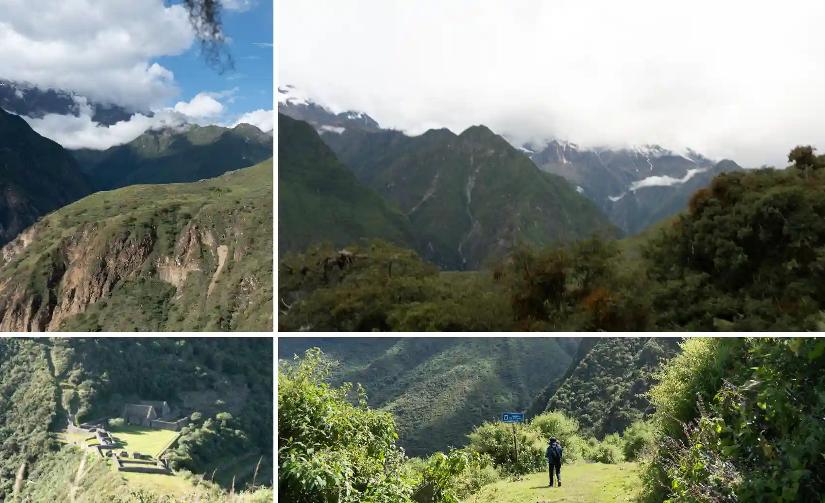
Use these high points to understand where the route gains and loses elevation. Photo by Inkayni Peru Tours.
What Is Choquequirao Altitude During Each Trek Stage?
This breakdown uses the classic 4-day route as a reference. It shows why Choquequirao feels demanding even though the maximum altitude is lower than many Andean passes: the trail loses a lot of elevation first and then asks your body to regain it on steep terrain.
| Day | Section | Main altitudes | Ascending elevation change | Descending elevation change |
| 1 | Capuliyoc → Playa Rosalina | Capuliyoc 9,564 ft (2,915 m) → Chiquisca 6,234 ft (1,900 m) → Playa Rosalina 5,085 ft (1,550 m) | 0 ft (0 m) | -4,479 ft (-1,365 m) |
| 2 | Playa Rosalina → Marampata | Playa Rosalina 5,085 ft (1,550 m) → Santa Rosa 6,890 ft (2,100 m) → Marampata 9,350 ft (2,850 m) | +4,265 ft (+1,300 m) | 0 ft (0 m) |
| 3 | Marampata → Choquequirao → Marampata | Marampata 9,350 ft (2,850 m) → Choquequirao 10,007 ft (3,050 m) | +657 ft (+200 m) | -657 ft (-200 m) |
| 4 | Marampata → Capuliyoc, return | Return through Santa Rosa, Playa Rosalina, Chiquisca and Capuliyoc | +4,479 ft (+1,365 m) | -4,265 ft (-1,300 m) |
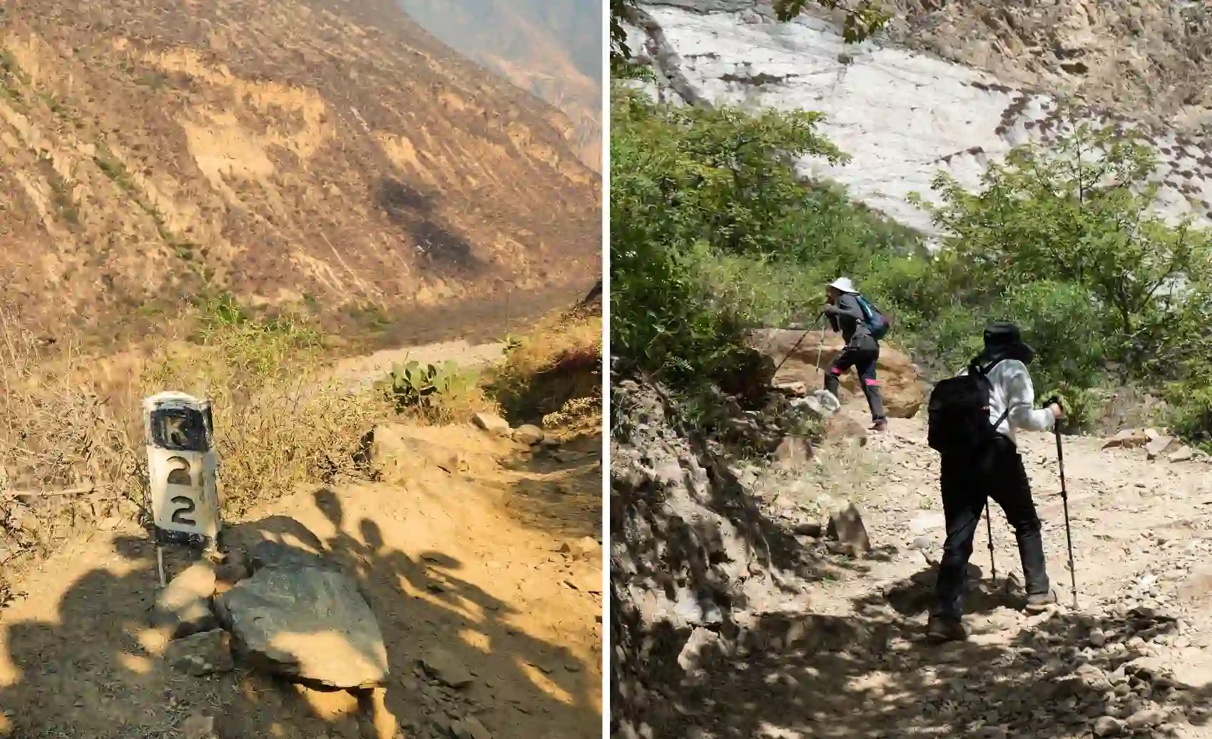
Sun and intense heat in the lowest sections of the Choquequirao Trek. Photo by Inkayni Peru Tours.
Main planning guides for Choquequirao
How Does Choquequirao Altitude Affect the Body?
Choquequirao altitude can affect travelers who are not acclimatized, especially if they arrive in Cusco and start hiking too soon. The classic route also exposes the body to quick changes in temperature, terrain and effort: cooler highland air, hot canyon sections and long uphill climbs.
Common altitude-related symptoms can include:
- Persistent headache.
- Dizziness or a spinning sensation.
- Nausea or vomiting.
- Unusual fatigue.
- Loss of appetite.
- Difficulty sleeping.
- Shortness of breath that feels stronger than expected.
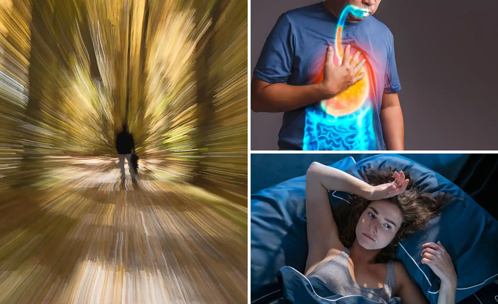
Be cautious and pay attention to altitude-related discomfort on the trek. Photo by Inkayni Peru Tours.
Warning:
Do not ignore symptoms that get worse, especially confusion, trouble walking straight, persistent vomiting, chest tightness, severe shortness of breath at rest or extreme weakness. Stop, inform your guide and descend or seek medical help if symptoms do not improve.
How to Acclimatize Before Visiting Choquequirao
Choquequirao altitude still requires acclimatization, especially if you live near sea level or are not used to elevations above 6,562 feet (2,000 m). Starting the trek the day after arriving in Cusco can make the first climbs feel much harder.
Practical acclimatization steps
- Spend at least 2 to 3 days in Cusco, located around 11,152 feet (3,399 m) above sea level.
- Keep the first 24 to 48 hours light with short walks, simple meals and early sleep.
- Avoid alcohol and heavy exercise during your first high-altitude days.
- Drink water from your arrival day instead of waiting until the hike starts.
- Test your shoes, backpack and layers before departure.
- Ask a doctor before using altitude medication, especially if you have heart, lung, blood pressure or allergy concerns.
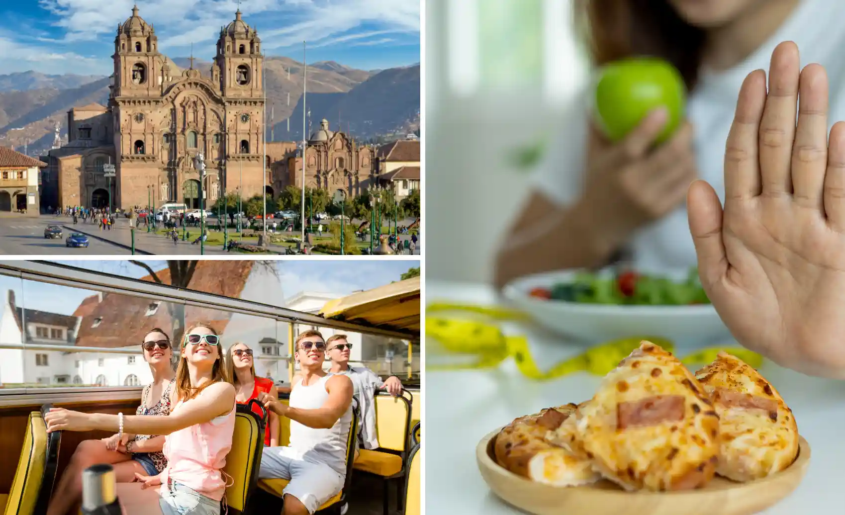
Use your first days in Cusco to acclimatize, walk lightly and avoid heavy meals. Photo by Inkayni Peru Tours.
How to Manage Choquequirao Trek Elevation During the Hike
- Walk slowly from the start: do not wait until you feel exhausted to reduce your pace. Save energy for the long climb after the river crossing.
- Hydrate before you feel thirsty: many hikers need at least 2 liters daily, and more may be needed during hot canyon sections.
- Use electrolytes if you sweat heavily: the lower canyon can be hot, especially during exposed uphill sections.
- Use coca tea or coca leaves realistically: many travelers use them for comfort, but they are not a medical treatment for altitude sickness.
- Control effort on climbs: breathe slowly, pause before you feel dizzy and avoid carrying unnecessary weight.
- Eat light but enough: choose easy-to-digest food such as soup, rice, pasta, fruit, nuts, dried fruit or energy bars.
- Keep medication accessible: personal medicines should stay with you, not packed away on a mule or in a distant bag.
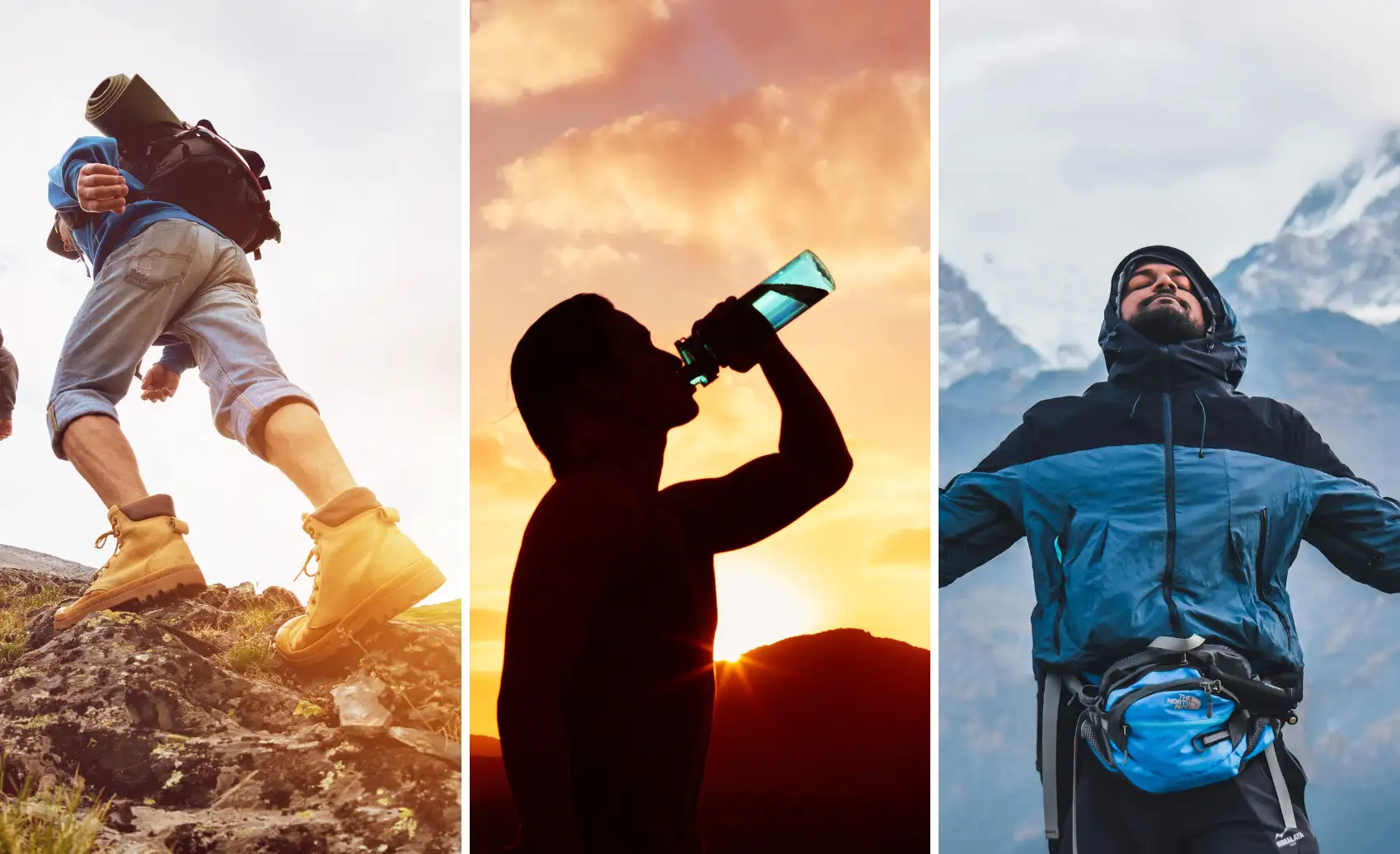 Follow these tips to manage the climbs, heat and altitude changes with more control. Photo by Inkayni Peru Tours.[/caption>
Choquequirao Altitude vs Cusco, Machu Picchu, Inca Trail and Salkantay
Choquequirao is lower than the highest points of the Inca Trail and the Salkantay Trek. It still feels demanding because the route repeatedly loses and regains elevation through the Apurímac Canyon.
| Route or place | Maximum elevation | Minimum elevation | Main objective | Altitude challenge |
| Choquequirao Trek | 10,007 ft (3,050 m) | 5,085 ft (1,550 m) | Choquequirao | Steep elevation change and canyon heat |
| Cusco | 11,152 ft (3,399 m) | — | Acclimatization base | Higher sleeping altitude before the trek |
| Machu Picchu | 7,972 ft (2,430 m) | — | Archaeological visit | Lower than Choquequirao |
| Inca Trail | 13,829 ft (4,215 m) | 7,874 ft (2,400 m) | Machu Picchu | Higher pass altitude and sustained ascent |
| Salkantay Trek | 15,256 ft (4,650 m) | 5,906 ft (1,800 m) | Machu Picchu | Higher pass, colder exposure and weather changes |
PERU’S LEGENDARY HIKEInca Trail to Machu Picchu
Follow the historic trail through mountain passes, Inca sites, and cloud forest paths to Machu Picchu.
Final Checklist for Choquequirao Altitude
Choquequirao altitude should not stop you from doing the trek, but it should change how you prepare. Use this checklist before departure:
- Acclimatize in Cusco for 2 to 3 days.
- Train with hills, stairs or long walks before traveling.
- Carry water, electrolytes, sun protection and light layers.
- Keep your personal medication with you.
- Start early on hot canyon sections when possible.
- Slow down before symptoms become serious.
- Tell your guide or trekking partners immediately if you feel worse.
Quick summary:
Choquequirao is lower than Cusco but higher than Machu Picchu. Its real difficulty comes from steep elevation changes, canyon heat and multi-day effort. Acclimatize first, train your legs, pack light and treat symptoms seriously.
With good preparation, Choquequirao altitude becomes a manageable part of the trek instead of a surprise. The goal is not to rush the route, but to arrive with enough energy to handle the canyon descent, the long uphill sections and the visit to the archaeological site safely.
Frequently Asked Questions About Choquequirao Altitude
What is Choquequirao elevation?
How high is Choquequirao compared with Cusco?
Is Choquequirao higher than Machu Picchu?
What is the maximum altitude on the classic Choquequirao Trek?
Can Choquequirao altitude cause altitude sickness?
How many days should I acclimatize before Choquequirao?
Which part of the Choquequirao Trek feels hardest by altitude?
Is Choquequirao altitude harder than the Inca Trail or Salkantay Trek?
Can beginners do the Choquequirao Trek?
Can I hike Choquequirao if I have hypertension?
What should I do if I feel sick from Choquequirao altitude?
Autor
Shared:


If you liked this article and the information you found, give us 5 stars!
 (Ninguna valoración todavía)
 Loading...